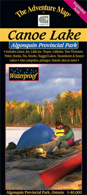
Algonquin - Canoe Lake Map
This popular 1:40,000 scale map covers the area from Ragged Lake in the south to all the way north to Tom Thomson Lake, and from Tea Lake in the west to Source and Tanamakoon lakes in the east, including the popular Canoe Lake and Smoke Lake access points. As such it's perfect for a short daytrip, a few days over the weekend or even a week travelling north to Tom Thomson.
The text and pictures on the reverse side describe the former logging boom town of Mowat, artist Tom Thomson and his mysterious death and local nursing legend Molly Colson, as well as hiking trails, park facilities and trip tips.
Original: $5.85
-70%$5.85
$1.75Product Information
Product Information
Shipping & Returns
Shipping & Returns
Description
This popular 1:40,000 scale map covers the area from Ragged Lake in the south to all the way north to Tom Thomson Lake, and from Tea Lake in the west to Source and Tanamakoon lakes in the east, including the popular Canoe Lake and Smoke Lake access points. As such it's perfect for a short daytrip, a few days over the weekend or even a week travelling north to Tom Thomson.
The text and pictures on the reverse side describe the former logging boom town of Mowat, artist Tom Thomson and his mysterious death and local nursing legend Molly Colson, as well as hiking trails, park facilities and trip tips.